Regardless of whether you are taking Highway 85/Greeley Highway (which turns into the one-way Warren Avenue as you go north through Cheyenne, and Central Avenue if for some reason you should be driving south through Cheyenne) or I-25 - which enables you to bypass Cheyenne altogether if you so wish, there is every reason to stop in Cheyenne on your way north.
Casper is two-and-a-half hours north of Cheyenne on I-25. It's a city of about 55,000 people, only slightly smaller than Wyoming's capital city, and of course will have plenty of hotels, motels, campgrounds and bed & breakfasts available for folks who want to stay in the city before, during and after the total eclipse.
However, Torrington, which is about an hour and a half north of Cheyenne on Greeley Highway/Highway 85, is a town of only 7,000 people. While there will be hotels and motels there, you can just as easily stay in Cheyenne for the night of the 20th - assuming you arrive the day before the eclipse - and just drive up to Torrington the next morning to be there at 11 am for the big show.
So, if you are going to stay in Cheyenne for a few days, either before or after the eclipse, there are some sites you should see.
(NOTE - click on a photo to see it in a larger size)
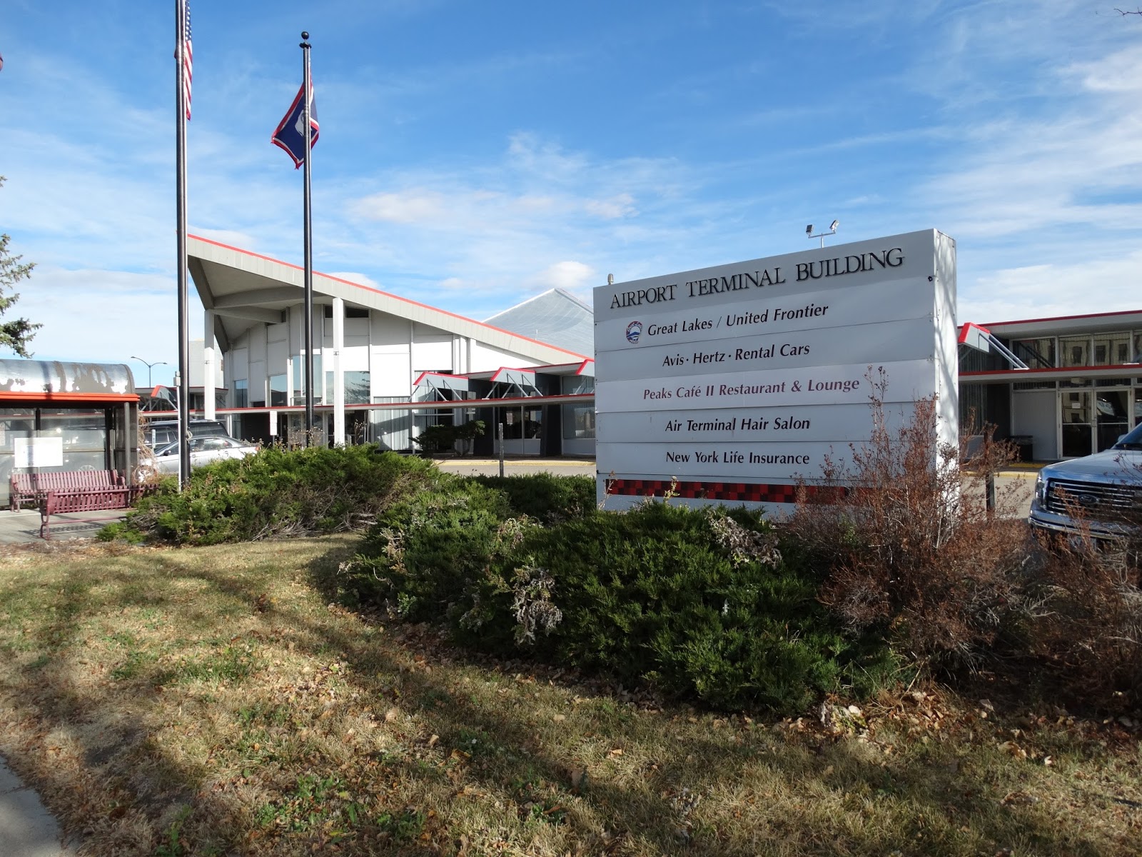
Cheyenne Municipal/Regional Airport
 |
| Landmark for turning - Airport Post Office. Turn right on 8th Avenue BEFORE you pass this building |
To get to the airport, simply drive north on Warren Avenue, in the right lane, until you get to 8th Avenue, and take a right. At this corner you will be a sign with an arrow pointing to our right for Post Office. In front of you you will actually see the post office building. It's a small brick building with a white portico. As you turn to the right you'll see the Art Deco aviation monument on your left. Parking at the airport is free.
 |
| Cheyenne Regional Airport - Jerry Olson Field |
It is a small airport, consisting of only one terminal, and adjacent to the Wyoming Air National Guard Airport. Great Lakes Airlines flies to and from Denver four times a day (each way), but most of the traffic at the airport is from private planes and Air Force craft.
Historical Markers
There are three historical markers situated around the airport - one on the northwest side facing the Airport Office Building, one right next to the airport (see below), and one to the far left!
 |
| Aviation in Cheyenne 1920s-1930s Historic Marker in front of Cheyenne Airport |
Enter the airport and you'll see some aviation exhibits in glass cases. Go upstairs to the Peaks Cafe Restaurant and Lounge to see one of many giant boots in the city. This particular one of course has an aviation theme.
 |
| One of Cheyenne's many Giant Boots |
 |
| Eddie Rickenbacker walking away from a crash |
How to get here:
From Greeley Highway/HIghway 85
Simply take the highway north right through the city. As you cross the bridge to enter the city proper, the road changes to Warren Avenue and there are stoplights and stop signs along its length. Continue a couple of miles north until you come to 8th Avenue. There's a large cream-colored stone tower on your right which is your landmark to turn, as well as a sign pointing to the right and labeled Post Office.
To get back on your way to Torrington, just come out of the airport parking lot and get back on Warren which is one way going north. It will change to Yellowstone. Continue to follow it for a couple of miles until you pick up Highway 85 again, and turn right.
From I-25 North
Get off on the College exit and take College to the right (east) for about 3 miles to Greeley Highway. Turn left or north on Greeley Highway. You'll then follow Greeley Highway for about 6 miles into and through town to the airport.
To get back onto I-25 north, exit the airport and get back on Warren going north. Get in the left hand lane. You'll see an exit for I-25 before you get to Dell Range Boulevard. Follow the signs to get back on I-25 North.
No comments:
Post a Comment